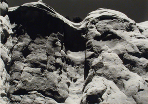
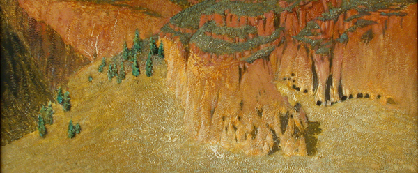
 Plateaus are high areas of land that consist of a relatively flat surface. There are different types of plateaus, each formed by a different process. A volcanic plateau can be formed by the volcanic magma rising from the mantle and causing the ground to swell upwards and flatten out. The lava from a volcano can also spread through the cracks in the earth’s crust, creating an expanse of uplifted flat lands. Plateaus can also be formed by the erosion of glaciers on the mountains, leaving areas of flatlands between the mountain ridges. In North America, the largest plateau is the Colorado Plateau, covering an area of about 130,000 square miles in Colorado, Arizona, New Mexico and Utah. The Frijoles Canyon and mesas, which include the Bandelier National Monument, are part of the Pajarito Plateau, which was formed over a million years ago from powerful volcanic eruptions. Over time, the erosion-formed canyons, including Frijoles Canyon, were home to Ancestral Pueblo peoples for many years.
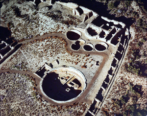
 Chaco Canyon is another plateau region in which Ancestral Pueblo peoples thrived and built communities. From AD 850 to 1250, Chaco Canyon was a center of trade, ceremony and community. The Chacoan people were one of the most advanced societies of their times, constructing complex architectural spaces and roads, which connected them to other regions for trading.
 In New Mexico today, Los Alamos County lies on the Pajarito Plateau of the Jemez Mountains, and the ruins at Frijoles Canyon are in Bandelier National Monument, which is a national park and open to the public.
For more information on Bandelier National Monument, visit » www.bandelier.national-park.com/
